Nexus Geographics will actively participate in the ESRI Conference 2016

During two days, Nexus Geographics will actively participate in the ESRI Conference, Spain 2016, supporting a Thematic Session and a joint presentation with the Municipality of Sevilla (by Francisco López and Lluís Tartera) about the web application “Sevilla, World Heritage”. The aim of this web is to stimulate the diffusion and knowledge of World Heritage properties, offering its information through interactive maps.
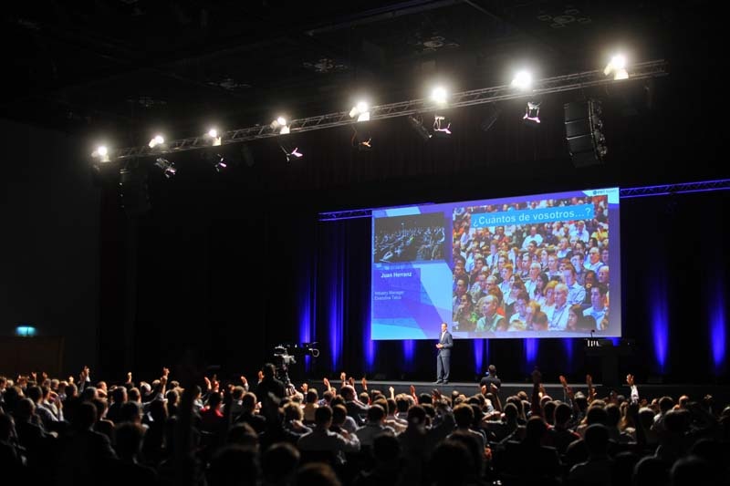
The ESRI Spain Conference will take place on the 26th and 27th of October in the Northern IFEMA Convention Centre in Madrid. It is one of the most important events of the year on GIS and geocoding. It brings together more than 2.000 users, 700 companies and acknowledged experts in ESRI technology, developers, technology experts and professionals.
During the conference, there will be several áreas with sessions and workshops to demonstrate relevant cases on Digital Transformation in which GIS is a key element. Among them, the municipality of Madrid will show how they are using this technology to convert the capital city in a Smart City. On the other hand, the government of Cantabria will show how they have applied this technology to make regional information accessible to citizens, encouraging transparency and entrepreneurship within the region. Lantik-
the Vizcaya Provincial Council (Lantik-), will explain how they transformed land registry through maps; or the firefighters of Barcelona, who have improved their capacity to anticipate fires in the city with geographic analysis.
In the private sector visitors can also learn about projects like one from NIVEA, in which they have achieved to optimize their sales management through a simple Big Data platform for all their employees; or Repsol who will tell about innovative practices on the development of a collaboration project on open data.