BusManager.net, web platform to publish the public transport of a city in Google Maps

Google Maps is an ideal tool for planning a trip with public transport. When users consult the map of the city, they can plan the trips combining all the different alternatives of public transport, besides the walking parts between the stops. This functionality is now available in more than 30 cities in Spain and in some 1.000 cities around the world.
For a city, uploading your public transport data to Google Maps is free. It is required to use the GTFS format and make a commitment to keep it updated. Google Inc has created free applications to edit and validate data in this format, like FeedValidator and ScheduleViewer. These are two applications that solve this process, but require a relatively high effort on the part of the technicians who use them.
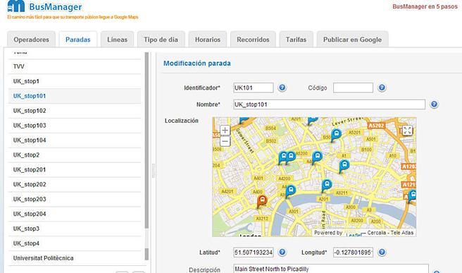
To simplify and automate the entire process, Nexus Geographics launched BusManager.net in April 2013. It is a web platform to create, manage and update the bus stops, itineraries, trips, routes and schedules necessary for the calculation of public transport routes on Google Maps, generating the standard GTFS files. This is a strategic service that is already being used by several Spanish cities and the company's future goal is to market it internationally.
Nexus Geographics has developed this application following the latest specifications of the GTFS format of Google and with the geographic web viewer based on the API of Cercalia.com.