What have we done?
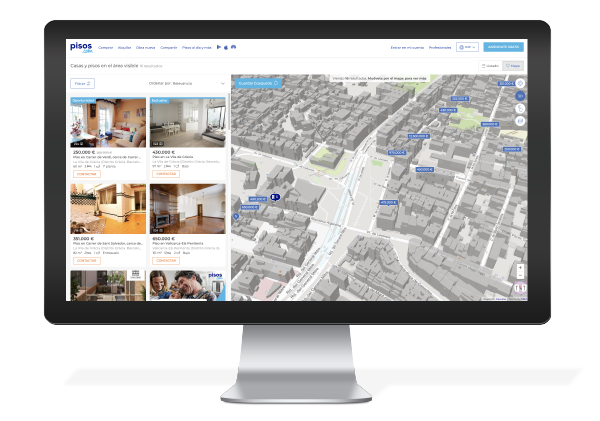
Internally, they use geographic information systems and maps, in which Nexus Geographics has collaborated, to know the prices of homes for purchase or rent on the map, with prices automatically updated every month, from the Pisos.com average price database.
The application allows you to search directly by province, municipality and postal code, and compare the information of a selected polygon with the average value of the higher administrative levels, as well as consult its basic statistical information from the census and the cens.

What can be found there?
- A real estate location map , that is responsive and capable of showing buildings in 3D and casting shadows depending on the day and time.
- Geocoding of addresses.
- API integration into the real estate portal and habitatsoft CRM software for real estate agencies.
- Sites of interest classified to enrich the map: transportation, education, health, food, leisure.


