Expropriation and Heritage Management

The App
Its purpose is to facilitate the creation of files, load geographic and alphanumeric data of Land Registry plots, expropriated elements and those reserved for temporary occupation or easements. It processes the files, providing support in the different expropriation phases until their completion and giving priority to online processing at all times.

What have we contributed?
- A structured data model for the Promoters of the works to issue information.
- A spatial data model in Oracle.
- Map services in ArcGIS Enterprise for publishing this information and allow it to be edited.
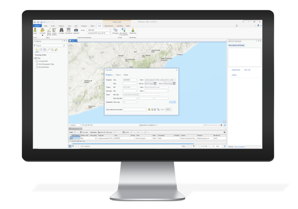
- A ArcGIS Pro add-in that facilitates the loading, consultation and management of the plots and expropriations.
- A web viewer based on ArcGIS Web AppBuilder in which tools have been developed for facilitating the consultation, management and editing of the different aspects of the file.
- The integration of these tools with the EGP app web services and CTTI GICAR access control.
It facilitates the electronic processing of the file, making the process faster and more efficient, and thus saving time. While also preventing obsolescence through the use of using next-generation tools.

