GIS system of mobility and public transportation of Sabadell

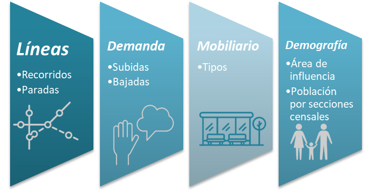
Transports Urbans de Sabadell has an increasing volume of data on the 14 million annual passengers, the use of the 360 bus stops, the demand of the inhabitants by zones, the geolocation of the furniture and the real-time location of the buses. The implementation of the GIS system has achieved to organize on the map in all this information in a unified way and adopt a common language to better understand the operation of public transport based on three axes: demand, mobility and demography.
The system provides many possibilities in decision support, beyond counting lists, and allows you to obtain visual summary tables that help you interpret the data.
• Query and filter the offer of transport: Lines, tours and stops.
• Interactive query the demand, from a stop, check where the passengers come from or where they are.
• Include demographic data on the map, with indicators that help decision-making.

Sabadell is a city of 210,000 inhabitants, with a network of 15 public transport lines, 360 stops, 65 buses, with 14 million passengers, operated by Transports Urbans de Sabadell.
